
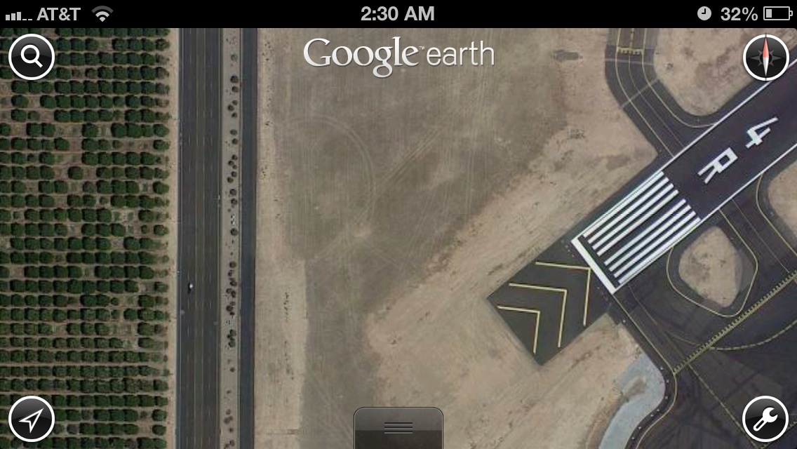
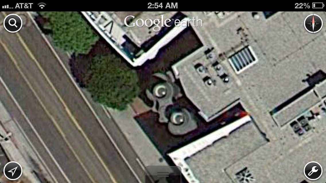
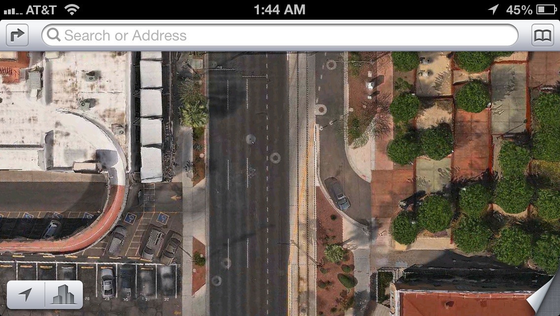
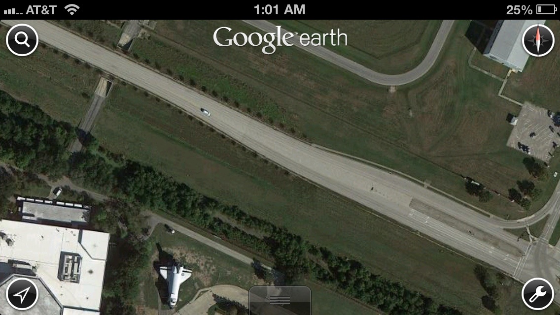
I’ve been playing around for a while with this idea of making a year-long cartographic photo-journal of my study of the built environment through the resolution and lens of mobile mapping applications. Mapping, geography and aerial imagery have always been of interest to me and I think it’s a worthwhile exercise to look for areas where this “fuzzing” of the lines and the edge conditions of urban uses occurs. I’ve had this first image reoccurring and fading in my mind since I first thought of doing this, so here at 2:30am on Jan. 4th (yea I’m behind three days, I know) we commence!



1>;>;9>;>;13
1>;>10>;>;13

1>;>11>;>;13
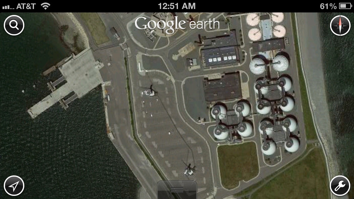




It’d been awhile since I posted, I suppose I just got caught up with doing tax stuff and spending tile with my girlfriend bips! 🙂 Any-who, it’s not often you catch airplanes on satellite imagery not directly adjacent to a runway. This particular image strikes me because there’s once again a sea of surface parking and it appears the airplane is circulating on the street, as it were a car, peculiar!
Leave a Reply